Geo Intelligence
AI-built, source-verified resource libraries for mining, energy and critical minerals.
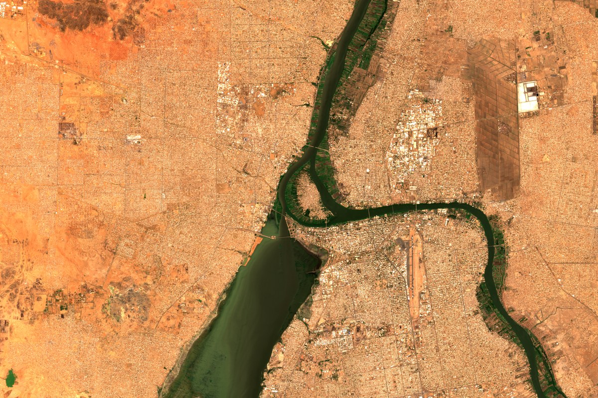
BLUE AND WHITE NILE, KHARTOUM · SENTINEL-2B · 17 NOV 2025 · CONTAINS MODIFIED COPERNICUS SENTINEL DATA 2025
Overview
We build country-scale intelligence libraries on natural resources — concessions, operations, deposits, infrastructure and ownership — by combining AI research agents, remote sensing and source verification. Each record carries a confidence rating, source citation and update date. Outputs work as live dashboards, GIS layers, Excel/CSV bundles or analytical briefings. We serve exploration, investment and policy teams in Canada, the US, Africa and the Middle East.
Typical deliverables
- National resource libraries with confidence-rated records
- Live web maps (Leaflet, Mapbox) and printable QGIS atlases
- ESG and ownership screening layers
- Monthly auto-refresh + change-log briefings
-
Civil & Dam Safety Engineering
Dam-safety reviews, reservoir studies and satellite monitoring, aligned with CDA guidelines in Canada and FERC and state programs in the US.
-
Remote Sensing & GIS
Change detection, water extent, ground deformation and exploration targeting from Sentinel, Landsat and commercial imagery.
-
AI & Data Solutions
Research agents, dashboards and decision tools built on verified data.
-
Market & Business Intelligence
Market entry, partner discovery and due diligence, with compliance and reputational screening.
Ask Agresca
Ask about a site, a dam or a market.
Our guide answers from our published work and points you to the right team. For anything specific, email info@agresca.com; we reply within one business day.