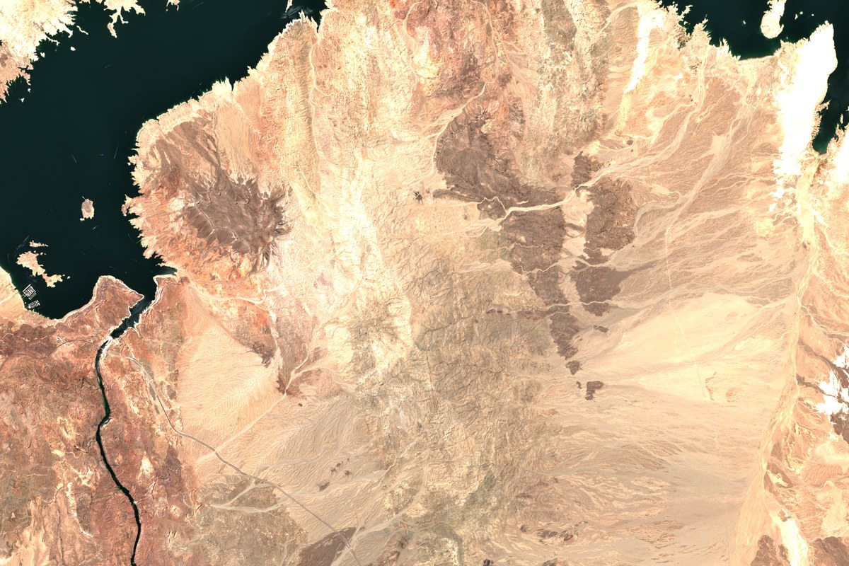
SAMPLE VIEW · HOOVER DAM AND LAKE MEAD · SENTINEL-2C · 18 JUN 2025 · CONTAINS MODIFIED COPERNICUS SENTINEL DATA 2025
Overview
Independent dam-safety reviews, hydrology and reservoir-operation studies, and remote-sensed surveillance for hard-to-reach sites. We combine standard engineering practice with satellite measurements (InSAR deformation, reservoir water-area, downstream land use) to monitor structures over time. In Canada, our work is aligned with the Canadian Dam Association (CDA) Dam Safety Guidelines; in the US, with FERC's Engineering Guidelines and state dam-safety programs. Across Africa and the Middle East, satellite monitoring fills the gap where field access is limited, as in Sudan.
The Agresca Nile Monitor applies the same satellite methods to the Blue Nile, from the GERD to Aswan. Every value is dated, sourced and marked preliminary until it is validated.
BLUE AND WHITE NILE, KHARTOUM · SENTINEL-2B · 17 NOV 2025
Agresca Nile Monitor
Reservoir and river levels from satellites, from the GERD to Aswan, updated daily from open radar and altimetry data.
GERD
1,457 km²
Roseires
380 km²
Sennar
82 km²
Water area · Sentinel-1 radar · preliminary · 12–19 Oct 2026
Our guide answers from our published work and points you to the right team. For anything specific, email info@agresca.com; we reply within one business day.
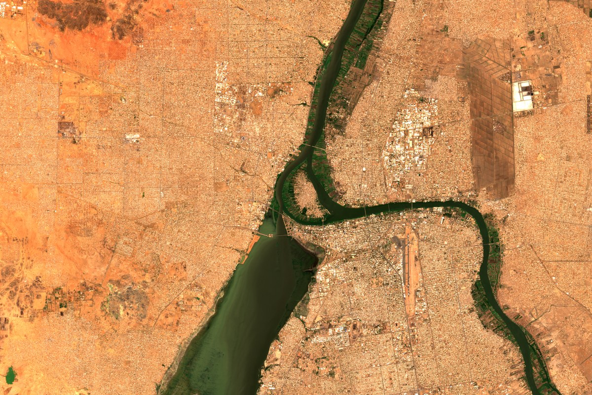 BLUE AND WHITE NILE, KHARTOUM · SENTINEL-2B · 17 NOV 2025